INFORMATION FOR INDUSTRY
Aspermont has invested throughout the last 20 years to build a commercial XaaS model for B2B media, to deliver high value content to a global client base.
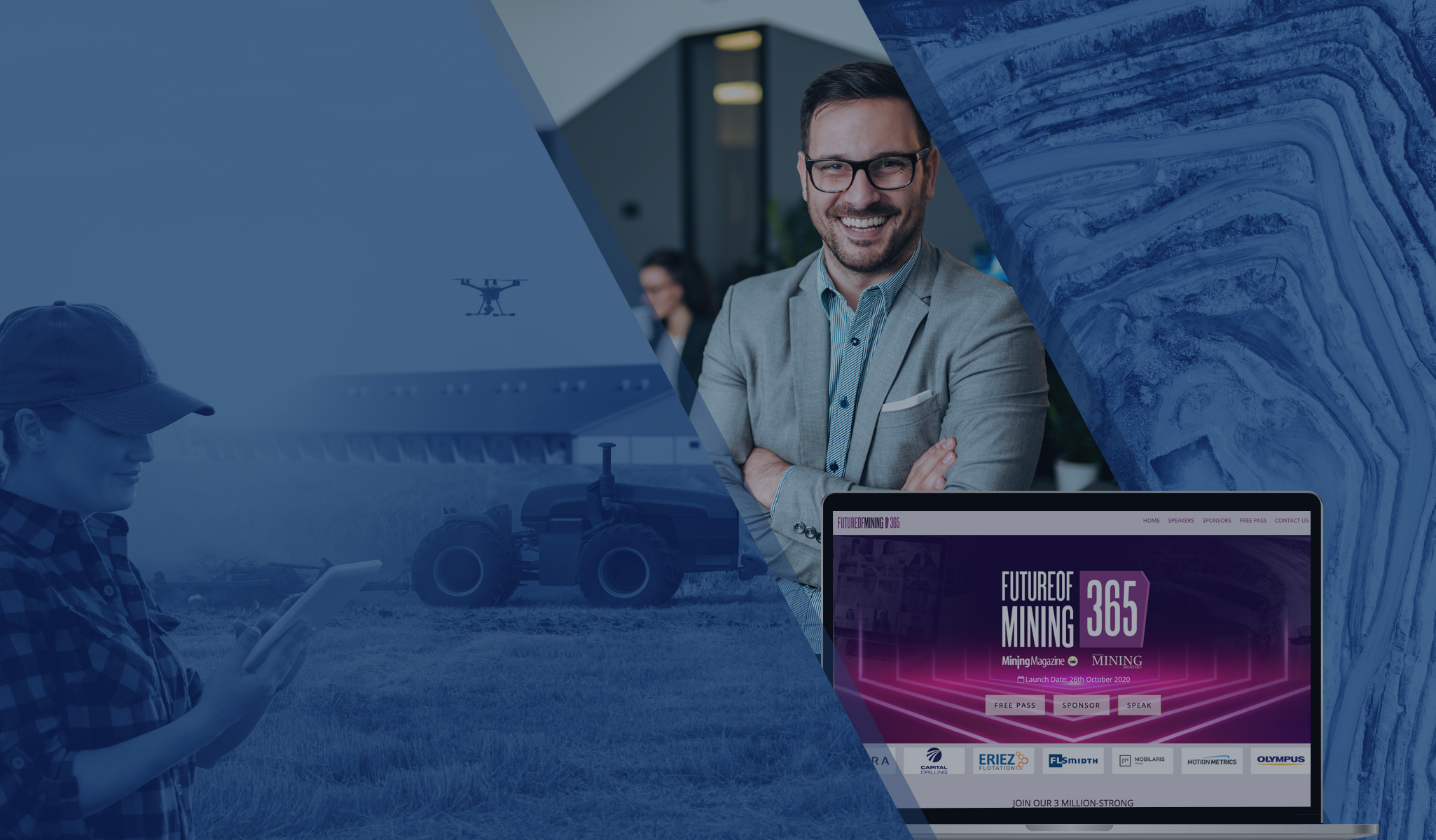
The Aspermont business model can be upscaled to serve fast-growing audiences and can generate additional growth by providing new data and marketing solutions for a global client base.
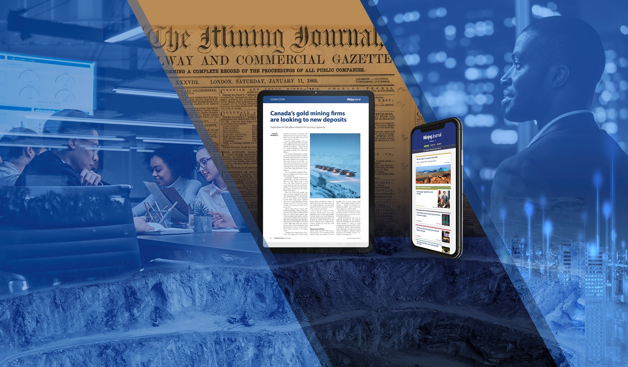
Aspermont produces a wide range of digital daily content that is accessed by over 3.8million users.
Where other media companies simply follow the market, Aspermont leads.

THIS WEEK'S TOP STORIES

Deputy Editor - Mining Magazine
ABOUT ASPERMONT
Aspermont is a UK-Headquartered global media group (approx. 130 people), dual listed on the Frankfurt and Australian Stock Exchange with offices in London, Perth, but presence across North America and South America. Aspermont delivers subscription-based content through digital, print, conferencing and events channels. They are the dominant player in the resources sector for B2B media, delivering information services with ambitions to successfully transport its model to other countries and other B2B sectors worldwide. Over the last 20 years, the company has been at the forefront of development in new media technologies to enable an enhanced delivery of its premium content services.
The company's recent digital transformation has completed its primary phase and it is now focused on marketing automation. Artificial Intelligence and algorithm driven marketing systems, based on continual digital data capture and behavioural analysis, are revolutionising the way the business attracts, retains and upsells its audiences.
ABOUT THE MINING MAGAZINE EDITORIAL FUNCTION
Mining Magazine (MM) is the single definitive guide to mining. Founded in 1909 by Herbert Hoover, Mining Magazine offers in-depth, technical insight into all operational aspects of mining. The title is designed to inform and assist mine management with decisions on mining techniques and technologies, as well as issues affecting their workforce, logistics and supply chains.
YOUR ROLE
You will be responsible for working with the MM editor on the daily production of unique and exclusive news analysis articles, and related mining research intelligence reports. You will assist with assigning and supervising the completion of work, editing and proofing.
You will also work with the MM editor on the production of the development of new multimedia content, and organising coverage of relevant industry events. As a senior editor in the Aspermont Mining editorial team, you will represent Mining Magazine at key industry events as agreed with the editor.
YOUR CONTRIBUTION TO THE BUSINESS WILL INCLUDE
- Writing daily news-analysis articles and interviewing senior industry figures and politicians.
- Using data and unique reporting to cover the global mining industry.
- Helping the Editor implement a content strategy focused on coverage of key mining themes.
- Ensuring the required quality and quantity of content is generated to specified deadlines for online channels.
- Daily coordination with the Editor on the management of reporting, event-coverage, field trip and production.
- Representing the Aspermont Mining editorial department (and specifically the Mining Magazine title) on field trips, at press conferences and other mining industry events, and generating content as required.
- Working with the editor to develop and execute reader-engagement and subscriber-audience building plans and initiatives, which may include social media and other promotional activity.
- Maintaining a sound working knowledge of the information needs of the audience and ensuring Mining Magazine output meets those needs. Maintaining sound awareness of competitor products.
- Close collaboration and coordination with sales and subscriptions teams on the monthly topics and features.
- Participating in recruitment/resource-deployment processes.
Key Result Areas/Key Performance Indicators
- Delivery of exclusive news analysis and interviews using unique industry sources
- Delivery of data-led features and multimedia content including video and audio broadcasting
- Well-received industry analysis as demonstrated by website traffic analysis
- Delivery of print and digital products to specified deadlines and at consistently high standards
External:
- Subscribers and other interested audiences
- Aspermont key clients
Attributes to be successful in this role:
- Strong work ethic and ability to prioritise and manage multiple deadlines: This role requires juggling various tasks and ensuring content delivery to strict schedules.
- Excellent written and verbal communication skills: You should be able to write clear, concise, and engaging news articles, features, and reports. You also need strong interview skills to gather information from diverse sources.
- Proven ability to work independently and collaboratively: You will work autonomously on tasks but also collaborate effectively with the editor, team members, and external stakeholders.
- Proactive and self-motivated with a strong desire to learn: This industry is constantly evolving, and you should be eager to stay updated on trends and technologies.
- Excellent organisational and planning skills: You will be responsible for managing and prioritising your workload, which includes content calendars, event coverage, and research assignments.
- Technical proficiency: You should be comfortable utilising various content management systems, social media platforms, and data analysis tools.
- Strong business acumen: Understanding of the B2B media landscape and the mining industry is crucial for strategic content development and audience engagement.
WORKING AT ASPERMONT
You'll be able to benefit from a hybrid approach between based out of our London office, as well half of the time be based remotely/ at home. At the office you'll be able to benefit from the normal WeWork perks (free coffee ,weekly events and classes, pool and foosball tables, inspiring working spaces). Our fulltime working hours are 37.5 hours per week, however we're open to considering part time employees, who have the right skills and experience.
Get in Touch
UK/Europe - London
Tel: +44 (0) 208 187 2330
Address: 1 Poultry, London, England, EC2R 8EJ
Email: corporate@aspermont.com
Brazil - Belo Horizonte
Tel: +55 (31) 2391- 4962
Address: Avenida do Contorno, 2905 - Sala 408 - Bairro Santa Efigênia - Belo Horizonte/MG - CEP 30110-915, Brasil
Email: brazil@aspermont.com
Australia - Perth
Tel: +61 8 6263 9100
Fax: +61 8 6263 9148
Address: 613 - 619 Wellington Street, Perth, Western Australia 6000
Email: corporate@aspermont.com
Asia - Philippines
Address: 20F Global One Center, Lot 5 Block 2 E-Commerce Road, Eastwood City Cyberpark, Bagumbayan, Quezon City, Phillipines
Asia - Singapore
Address: 182 Cecil Street, #23-02, Frasers Tower, Singapore 069547
Email: corporate@aspermont.com
Copyright © 2000-2024 Aspermont Ltd. All rights reserved.